| HOME | ABOUT US | SERVICES | GETTING STARTED | GIS MAPPING | SAMPLES | CONTACT US |
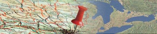
What is GIS
A Geographic Information System (GIS) is a valuable tool for land records management. GIS is an Internet-based mapping system that stores layers of information based on its geographic location (where it is located on the globe). GIS allows data to be stored, gathered, and recalled based on any type of information, such as: a name, a parcel ID number, a date of transaction, an address, or a document number, to name a few. Storing, searching, retrieving and editing GIS data is fast, easy and user friendly.
How Can GIS Benefit My County?
A Geographic Information System (GIS) can benefit people from all walks of life, especially people involved with county government. Tracking, recording and providing detailed land record information is a central function of county governments. A GIS provides a streamlined and well-administered data integration system that coordinates numerous sets of county department data into one system, which, in turn, increases a county's resourcefulness and efficiency in land information management and delivery. This improved information accessibility for the county government results in the county saving time and money.
Implementing a GIS in county government is also useful to the general public. Information that would have only been available by visiting the county government offices would now be accessible to the public via the Internet, which saves the general public time and money.
A GIS also advances county governments to the forefront of technology. The GIS-building process involves converting the information from thousands of paper records to an electronic format that can be viewed by many at any time of the day